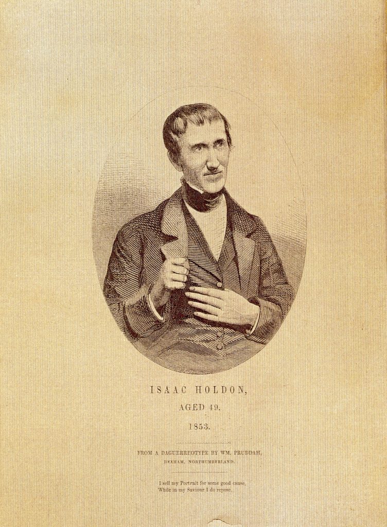
Walk in the footsteps of the legendary tea seller Isaac Holden.
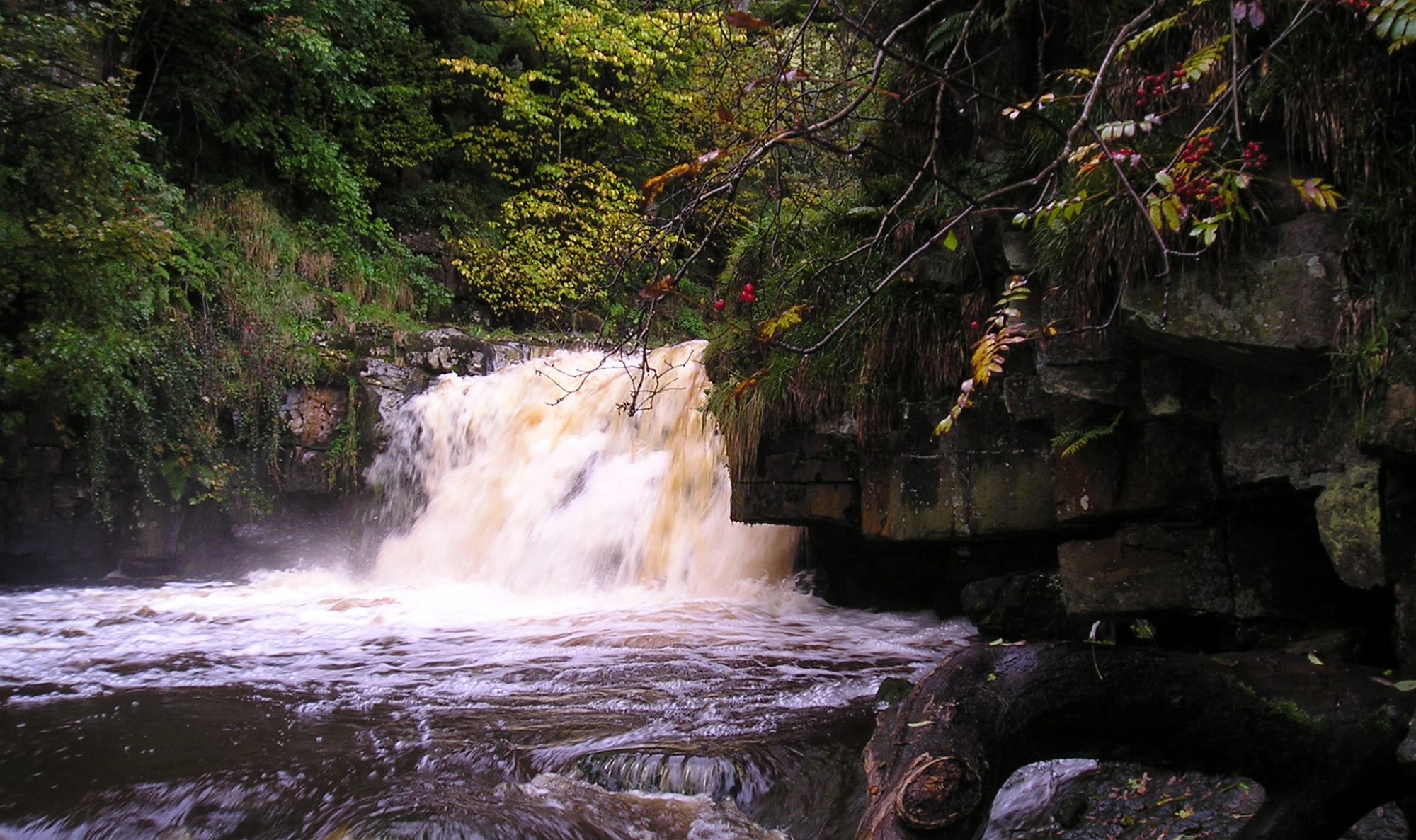
Discover hidden valleys and cross wild moors with stunning views across Northumberland and Cumbria.
Isaac’s Tea Trail links Alston, England’s highest town, with Allendale and includes romantic hamlets like Ninebanks and the old lead mining village of Nenthead. The route follows public rights of way where livestock graze, and walkers are asked to follow the country code and keep dogs on a lead at all times. A moderate degree of fitness is required, reasonable navigation skills and clothing and footwear suitable for hill walking in potentially poor weather conditions.
Map extracts are included for guidance only, and Trail users are recommended to purchase Ordnance Survey Landranger 87 [Hexham and Haltwhistle] or OL Explorer Map 31 [Teesdale and Weardale] or download the maps and use a phone mapping app such as Anquet’s OMN.
Isaac’s Tea Trail can be covered in four or more stages, depending on time available. It is not intended as a challenge walk, but an experience to enjoy because of the variety of wildlife and the range of landscapes passed on the way. The hand of history, whether in the shape of chapels, farmsteads, field patterns or remnants of the lead mining industry, is ever present. Details of visitor facilities, the availability of refreshments (including tea!) and accommodation are included for each section of the walk.
If you’re not able to walk each stage from start to end, there are many alternative ways to see all of the walk, whether completing short sections and returning the same route or finding your own circular walk to see the Tea Trail and some of the other beautiful and spectacular scenery in the area.
For lots of inspiration, see Anne Leuchars’ superb ‘Walking Isaac’s Tea Trail‘ blog, which is dedicated to the ‘short-distance approach to walking a long-distance path’.
For a summary of the trail, see the Isaacs tea trail leaflet.
Isaac’s Tea Trail was developed as a circular route in a clockwise direction ie Allendale Town – Nenthead – Alston – Ninebanks – Allendale Town. This is the route described in this website and in the booklet trail guide. Following suggestions from people who have walked the trail, a guide is being developed for an anti-clockwise walk, following the same route but in the opposite direction. As the directions for this walk are developed, they will be added to this website. Information about both versions of the walk can be found on the ‘Finding Isaac’s Tea Trail’ page.
For a photographic view of the trail, have a look at this wonderful Tea Trail Slideshow
The booklet version of the trail guide is out of print. A revised version is underway and when available, details will be included here.
Isaac’s Tea Trail is well established and recorded on Ordnance Survey maps. The maps in this website, subject to noted changes, are correct. There is always a chance that there may have been some minor changes to the detail of the route so it may be slightly different to the route instructions, eg a gate may have replaced a stile or a cattle grid may have been installed or removed. The route is regularly walked and the instructions updated, however if you spot a noteworthy change to the route or an error in the instructions , please let us know at this email address: roger@isaacs-tea-trail.co.uk.