
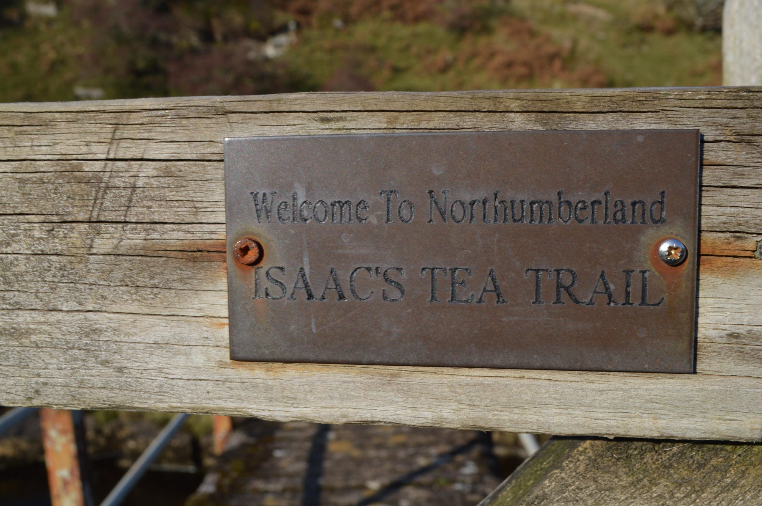
Downloadable Route Summary & Instructions for Alston to Ninebanks
Summary
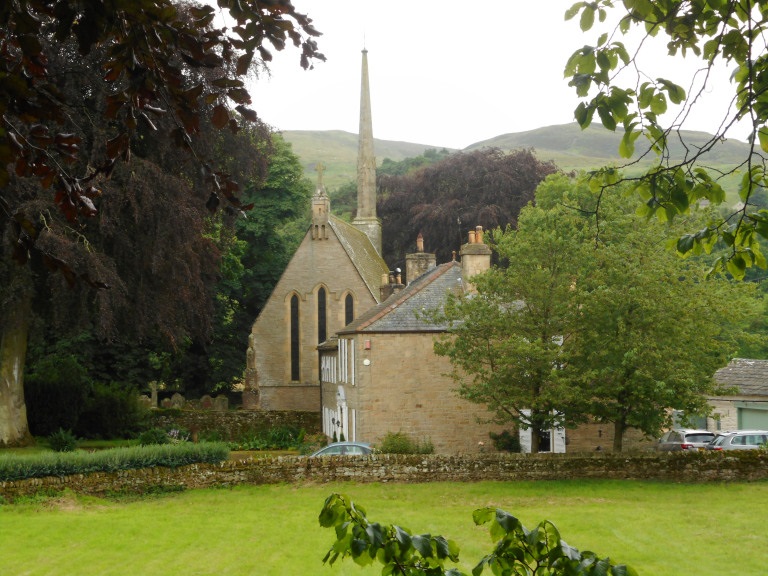
Isaac’s Tea Trail keeps company with the Pennine Way as far as the Roman Fort of Epiacum (Whitley Castle). At Castle Nook farm Ann Telfer worked as a domestic servant before she married Isaac Holden at nearby Kirkhaugh Church in December 1834. They later opened a grocer’s shop in Allendale from where Isaac made his deliveries of tea around and about.
Isaac’s younger cousin and namesake, Sir Isaac Holden and also a Liberal M.P. was given a baronetcy in 1893 and took the Alston name because of the family’s ancestral links with Alston Moor but, as far as is known, Sir Isaac never visited Alston.
Both Isaac’s shared equally humble origins, though their careers took decidedly different directions. Sir Isaac’s father went to Scotland in the early 1800s, while Isaac’s of Ninebanks and Allendale fame moved to the West Allen in the next valley as a lead miner. In the ups and downs of Victorian family fortunes the contrasts could not have been more different. Sir Isaac became a hugely successful and wealthy Bradford woollen manufacturer and created the Holden dynasty. Despite such disparity in wealth and influence they were both lifelong Methodists and philanthropists of significance.
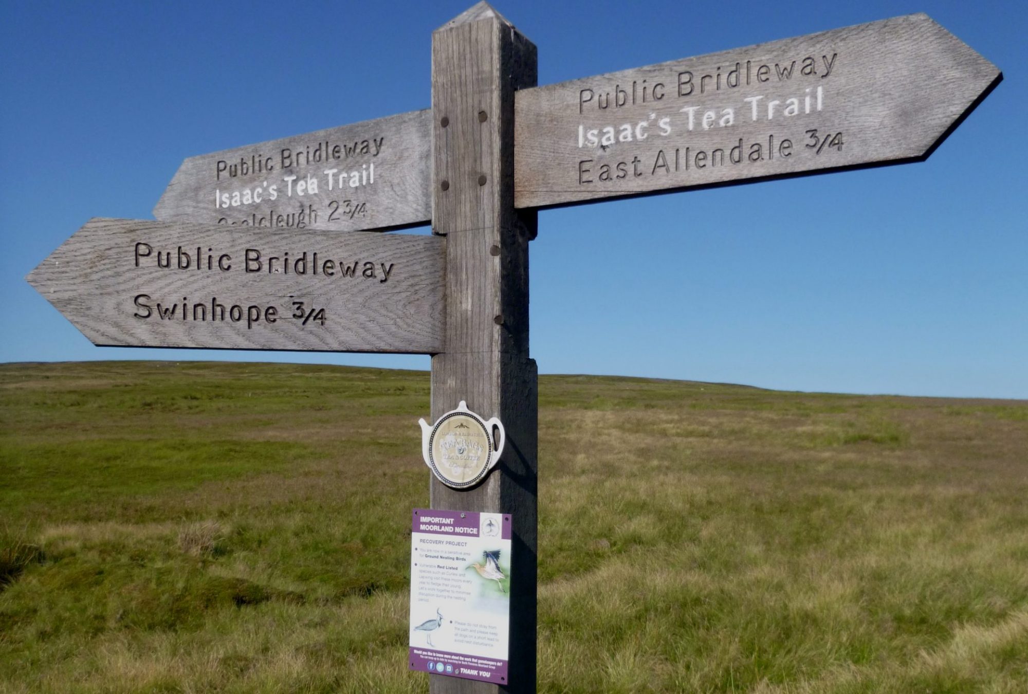
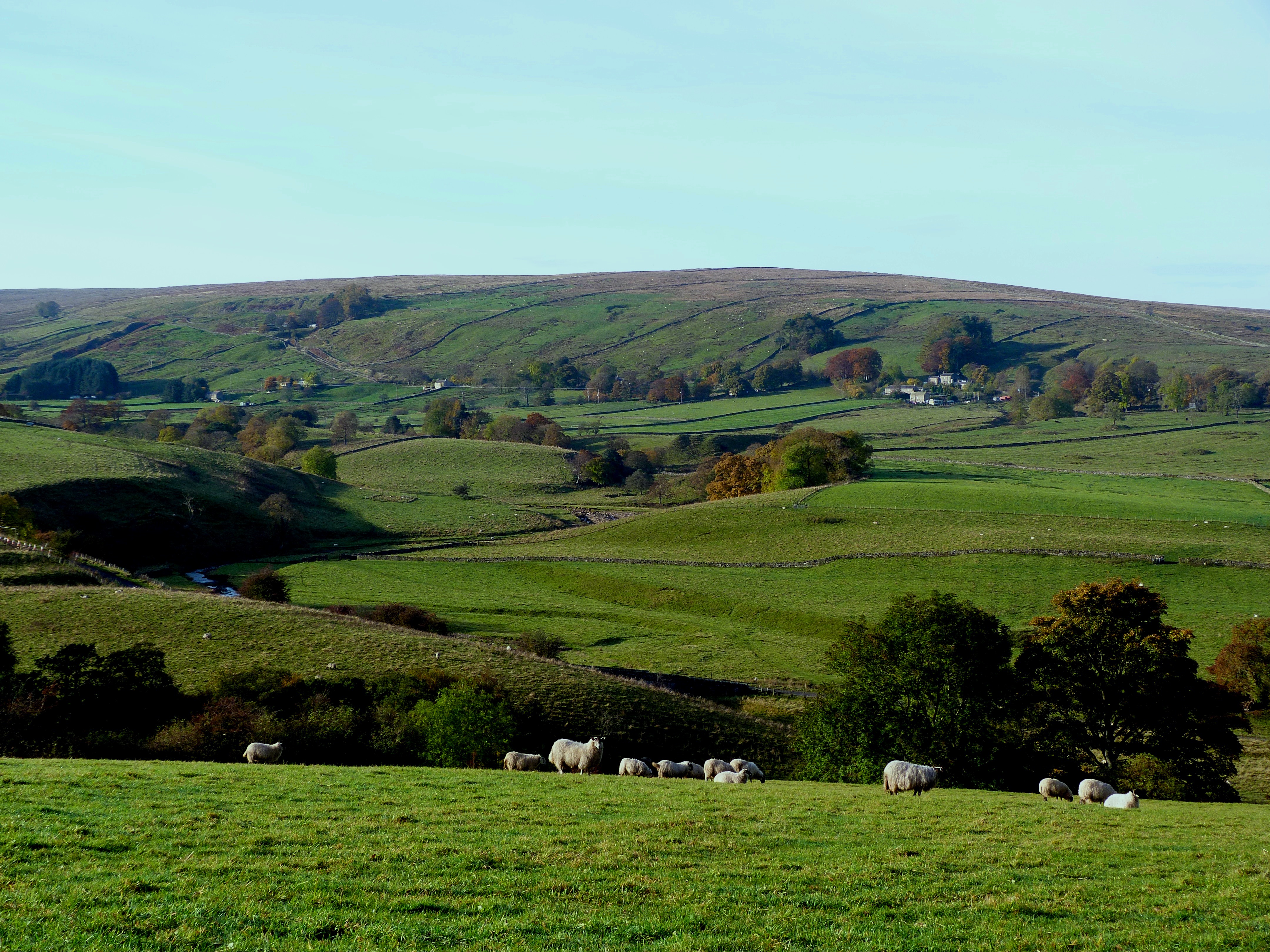
After crossing the South Tynedale Railway the Tea Trail loops back down to the river where a new footbridge was opened in October 2020 to replace the one destroyed by floods in 2018. After Kirkhaugh, the Trail heads to Randalholm and then up the valley to the hamlet of Ayle and beyond to the historic Clarghyll Hall originally owned by the Whitfield family. The trail then heads up to the moors over Ouston Fell with good panoramic views as far as The Cheviots and then drops down to Mohope’s meadow lands and the enchanting West Allen Valley.
Accommodation and refreshments are available in Alston and at the Nook, the cafe at Epiacum. Accommodation is also available at Ninebanks Youth Hostel and Chalets.
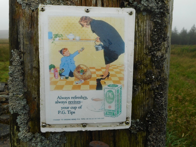
For a gentle and very informative introduction to this section, listen to the Countrystride podcast with Roger & Anne Leuchars: Countrystride #83: ALSTON & Isaac’s Tea Trail
Distance: 16.39 kms, 10.2 miles; Allow 5 hours
Difficulty: Medium
Max height: 483m; Min height: 229m; Total Climb: 491m;
Diversion: See the Latest News page for details of a diversion on this section of the trail. The diversion is needed because the stretch of bridleway between Clarghyll Colliery and Clargillhead will be closed for about 3 months, starting in mid-November 2025.
Maps: Alston to Ninebanks Map
Route Instructions
Alston Market Cross to Kirkhaugh footbridge
Distance 6.12 km or 3.80 miles
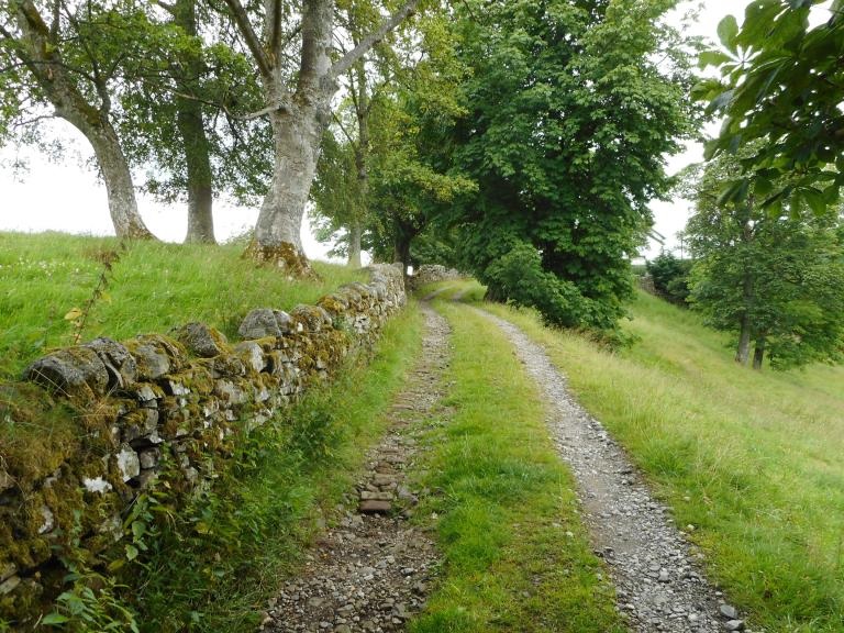
From the Market Cross walk down Alston’s cobbled street. At the junction below the old Town Hall, turn left onto the A686 Penrith road to the road bridge over the South Tyne River. Further on at the junction with the War Memorial, turn right on the A689 Brampton Road. On the right after a short distance is a footpath sign for the Pennine Way with the Isaac’s Tea Trail logo. Follow the path flanked by dry stonewalls with views back to Alston. The path passes Harbut Lodge to the right and onto a track to reach the road.
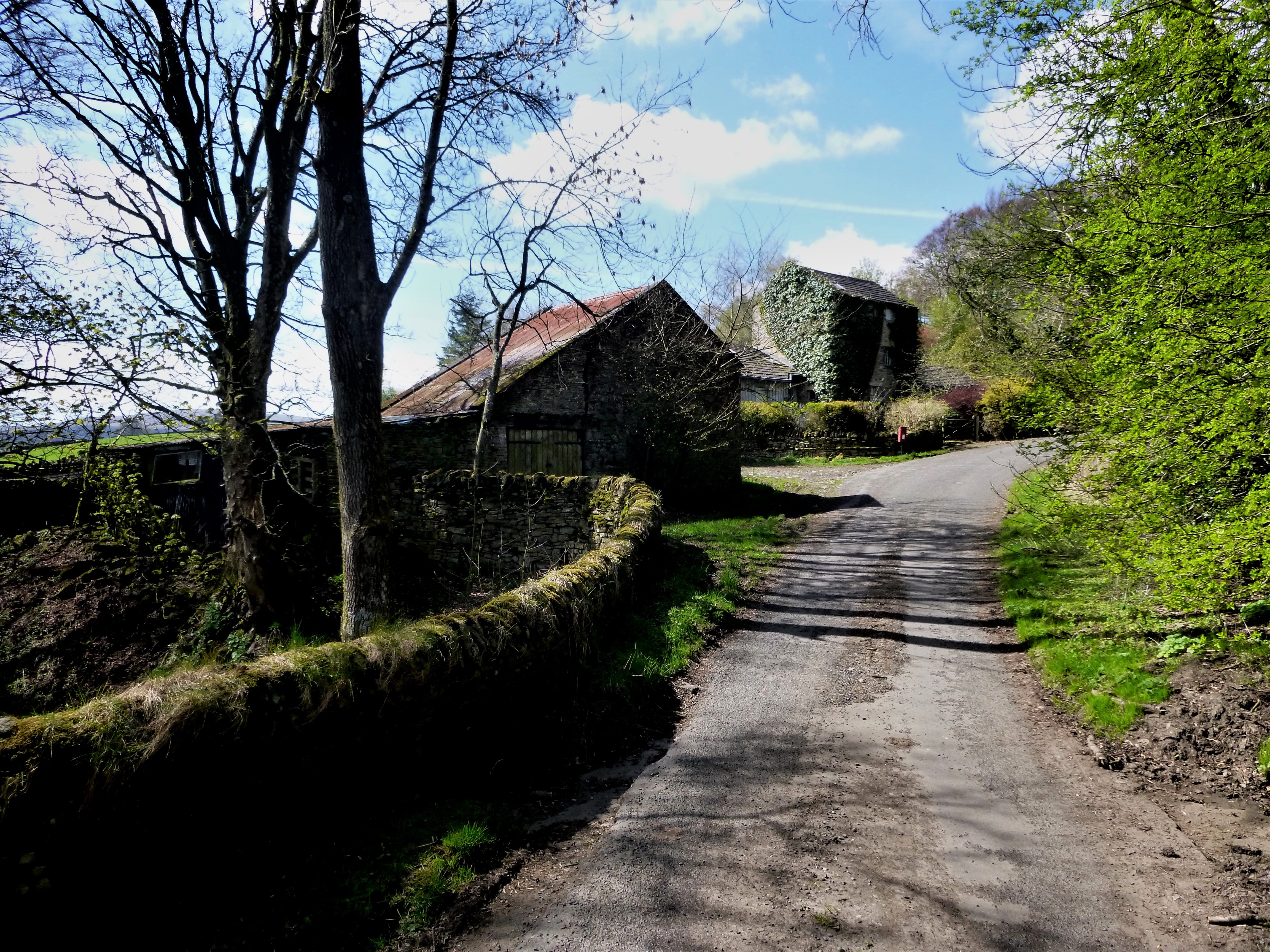
Turn right at the road then go left at the next footpath sign for the Pennine Way with the Isaac logo just past Harbut Law Farm. Head uphill eventually to the right for the drop down to the Gilderdale Burn footbridge (the boundary between Cumbria and Northumberland.) Climb up and around from the burn and keep the drystone wall to the right over the well-worn path. Follow the Pennine Way signs that take you near the side of the ramparts of the Roman Fort of Epiacum. Keeping to the left of the remains (although it’s worth exploring ) drop down and above Castle Nook Farm through a wicket gate into woodland where the path over the A689. Cross and follow the Pennine Way footpath sign and Isaac logo sign on the finger post.
Just beyond Dyke House Farm, Isaac’s Tea Trail bids, “Goodbye” to the Pennine Way and veers to the right, down to cross a solid stone bridge over the South Tynedale Railway near the halt of Kirkhaugh. After crossing the railway, follow the footpath down to the newly erected Kirkhaugh Bridge which opened on the 16th October 2020 and replaces the original bridge which was washed away by the River Tyne in September 2018. After enjoying the new bridge, walk along the footpath to the road.
Kirkhaugh footbridge to Clarghyll road/track intersection
Distance 4.37 km or 2.72 miles
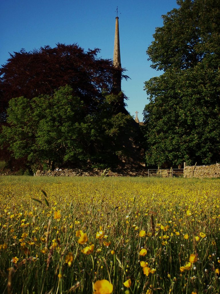
A visit to the Church of the Holy Paraclete at Kirkhaugh is recommended before you walk south along the road beside the river. Further down the road and just before Randalholm bridge, the Tea Trail leaves the road on the left via a field gate and heads diagonally up the field towards the far corner below Kirkside Wood on the left. The path crosses
with ladder stiles and field gates before emerging from behind a barn onto the road at Ayle.
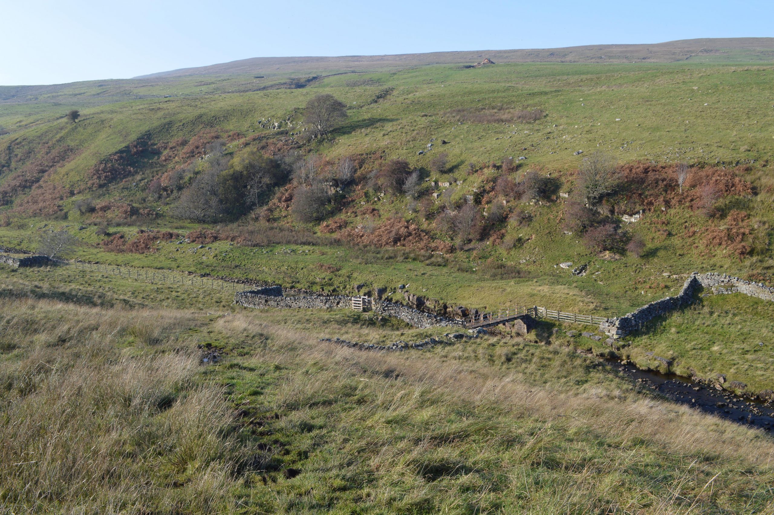
Keep right along the road until just pass Townfield Farm, climb over the ladder stile on the right, and look for the stile in the drystone wall ahead. Climb up and drop down and over to another stile on the left and further down in the drystone wall. This leads down to the Ayle Burn and a marker post, where hawthorns obscure the approach to the footbridge.
After crossing the stream bear left and up across to another stile and onwards at a diagonal towards Clarghyll Hall. Pass through a field gate onto the track between the house on the left and outbuildings on the right on the road. Then turn left at the footpath sign and continue down the road to the road junction before the sharp bend.
Clarghyll to YHA Ninebanks
Distance 5.90 km or 3.67 miles
Follow Isaac’s Tea Trail footpath sign past once the Clarghyll Colliery site to the next sign and turn right up a rough track to cross the A686 (look out for traffic). Continue past Clargillhead on the right.
Continue through field gates over the moorland track beyond Sandy Ford and over Ouston Fell. This section is popular with off-road motor cyclists. The condition of the track deteriorates badly over the last mile of steep descent and it’s usually easier to walk up on the bank side on the left and above the track. At the road turn right into Mohope as far as YHA Ninebanks.